Monitoring Reefs, Pollution, and Mariculture in the Philippines
Liquid Robotics — March 25, 2019
The Philippine-California Advanced Research Institutes (PCARI) Project connects higher education institutions in the Philippines with top research universities in California, in an effort to collaborate on innovative research and build technological capacity in the Philippines. To date, over 5 billion Philippine pesos ($96M USD) has been invested in 40 research and development projects.
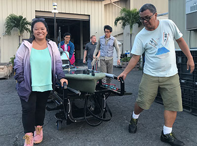
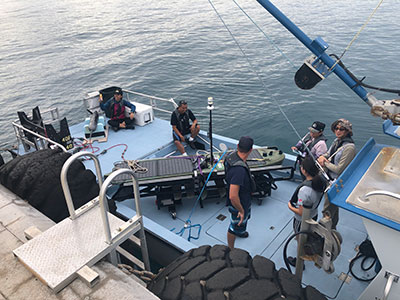
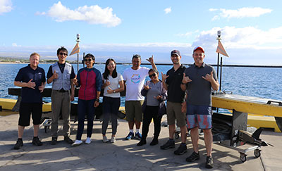
Now a collaboration between University of Philippines Diliman (UPD), Marine Science Institute and University of California, Berkeley (UCB) will send a Wave Glider to the Philippines, tasked with three important environmental monitoring projects.
Monitoring Pollution at Boracay Island
Boracay consistently ranks on lists of the world’s best beaches. But as tourism crested to over 2 million visitors a year, the infrastructure on the island was unable to keep up. The ensuing sewage problem led Philippine President Duterte to close the island for six months beginning in April 2018; it is now slowly reopening in phases as rehabilitation work continues.
Here, the Wave Glider will work on mapping the extent of sewage discharges and measuring indicators of wastewater contamination in order to help model potential environmental and health impacts near the bathing beaches and dive sites.
Preserving Tubbataha Reefs Natural Park
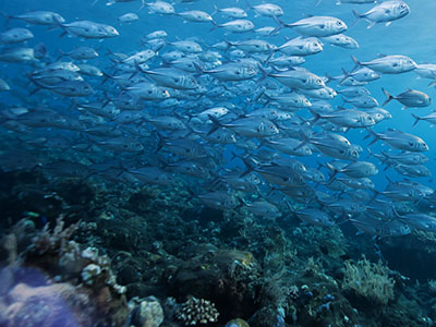
At 97,030 hectares, Tubbataha Reefs Natural Park is the largest marine protected area (MPA) in the Philippines. It sits at the Northern apex of the Coral Triangle, home to the highest biodiversity of corals and fishes in the world. Tubbataha is only accessible by boat three months of the year—during the rest of the year conditions are too rough—presenting a great opportunity to use unmanned surface vehicles like the Wave Glider to conduct research during the rest of the year.
For this project, the Wave Glider will create a database of locations and distributions of iconic species including sharks, rays, and other cetaceans. In addition, it will measure a variety of water quality parameters to build out temporal and spatial maps around the park and to measure the environmental impact of shipping traffic. The team will also be exploring the potential use of the Wave Glider for maritime surveillance and MPA protection enforcement, to determine whether shipping traffic is respecting the 10-nautical mile perimeter buffer zone around the park, especially during the approximately nine months when the area is difficult to reach.
Sustainable Mariculture in Bolinao, Pangasinan
As mariculture activities have expanded in Bolinao, Pangasinan, environmental issues have risen as well, including the deterioration of corals and seagrass beds, and an increase in harmful algal blooms.
The Wave Glider will be tasked with measuring and monitoring environmental conditions in the water column, with three key objectives: to understand the extent of hypoxia (low or depleted oxygen conditions that lead to dead zones where life cannot be sustained) in key areas of Bolinao; to test the traceability of mariculture-effluent; and to explore the possibility of tracing flows of submarine groundwater discharge in Malilnep Channel.
For More Info
The project is managed by Dr. Caroline Jaraula at UPD and Dr. Thomas Azwell at UCB. For more information, visit the project website. We’ll keep you posted as these projects progress!
