 Photo: David Schmidt
High Precision Seafloor Geodesy Sheds Light on Oregon Segment of the Cascadia Subduction Zone
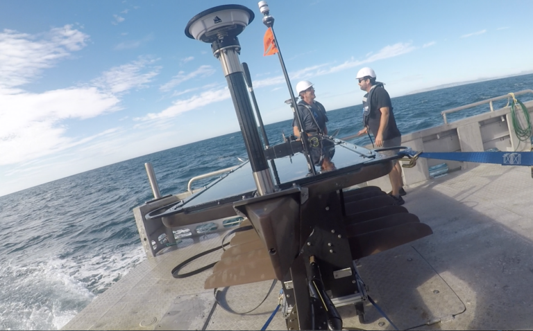
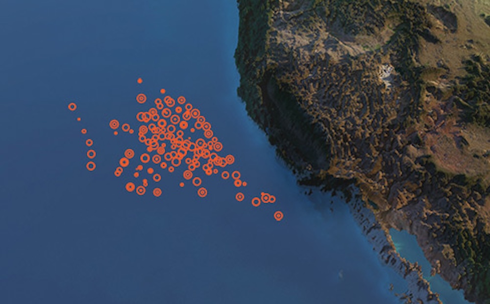
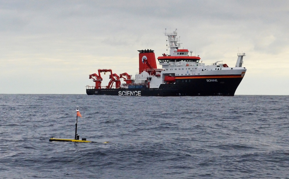
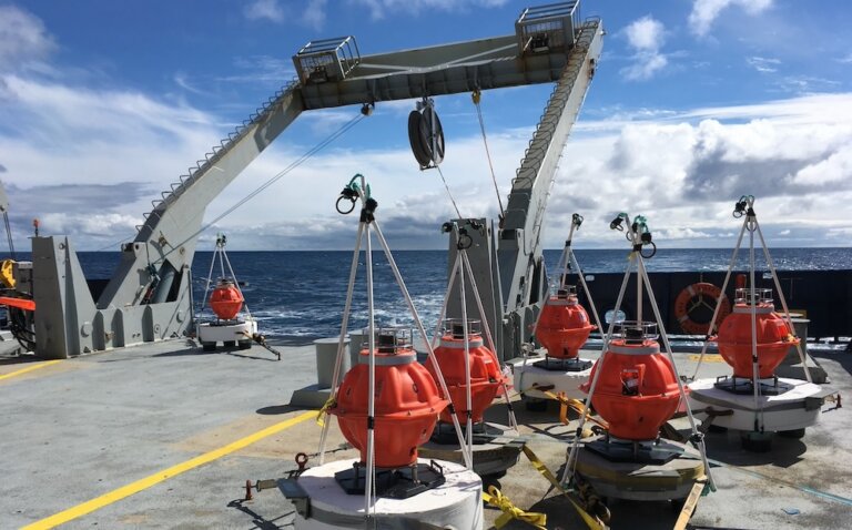
Scientists from U.S. and international institutions are collaborating to collect high precision data of tectonic plate movements in the Pacific. With bottom-mounted Sonardyne Fetch arrays and Wave Gliders at the surface, movements can be measured with 1 cm precision using GNSS (Global Navigation Satellite System). The University of Washington and Scripps Institution of Oceanography are conducting surveys off the U.S. West Coast to further investigate the Oregon Segment of the Cascadia Subduction Zone.