195 results
NOAA Continues Oceanographic Data Collection with Uncrewed Systems in Hawai‘i

NOAA Continues Oceanographic Data Collection with Uncrewed Systems in Hawai‘i

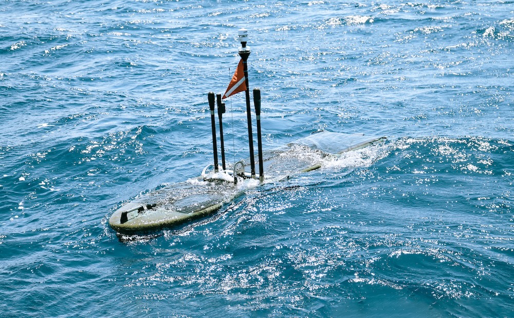
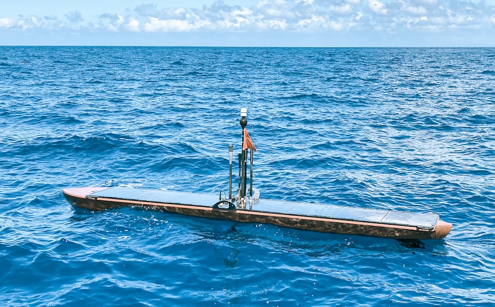
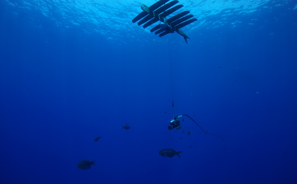
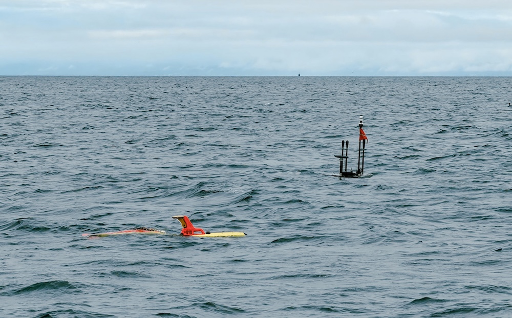
Scientists from NOAA’s Pacific Islands Fisheries Science Center have begun a second year of data collection for the Integrated Ecosystem Assessment in Hawai‘i with support of Wave Glider Uncrewed Surface Vehicles. Three Wave Gliders are circumnavigating the main Hawaiian Islands between one to four miles from shore while measuring surface and subsurface information on important ocean and atmospheric parameters.

Customer Missions METOC
High Precision Seafloor Geodesy Sheds Light on Oregon Segment of the Cascadia Subduction ZonePhoto: David Schmidt

High Precision Seafloor Geodesy Sheds Light on Oregon Segment of the Cascadia Subduction Zone

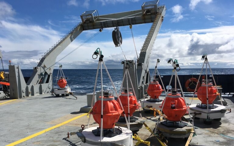
Scientists from U.S. and international institutions are collaborating to collect high precision data of tectonic plate movements in the Pacific. With bottom-mounted Sonardyne Fetch arrays and Wave Gliders at the surface, movements can be measured with 1 cm precision using GNSS (Global Navigation Satellite System). The University of Washington and Scripps Institution of Oceanography are conducting surveys off the U.S. West Coast to further investigate the Oregon Segment of the Cascadia Subduction Zone.

Customer Missions Geodesy
1 2 3 17